Jeff's Map Announces Canadian Topo Maps

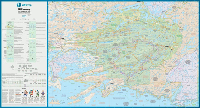
Jeffrey McMurtrie (read our interview with him here) has created some of the best maps out there for Algonquin, Killarney, and Temagami, has announced Jeff's Topo Maps, a topographical maps service for all of Canada.

"The thing is, the process for finding and getting the map you needed was always a huge hassle.
For instance, the process of even figuring out which maps you needed verged on ridiculousness. There were paper index maps that you could get, but they only show the largest parks, lakes, and cities. Looking for a small river or creek? What about a backpacking trail?
You'd actually have to Google it, estimate it's position on a paper index map, order that map and hope you picked the right one. Sounds silly eh?
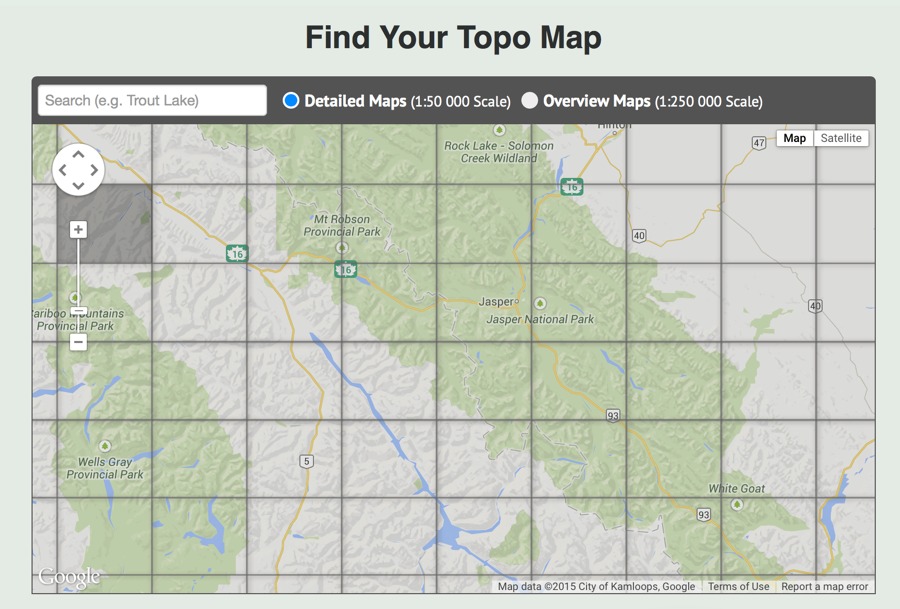
After going through that process one too many times, the same thought that'd I'd had when I started creating my Algonquin map went through my mind – 'Screw this, I know how I'd design a website to search and share topo maps, I might as well give it a shot.'
Ta da!"
Available as either 1:50,000 or 1:250,000 scale, you can easily use Google Maps via Jeff's site to find the quadrant you are looking for. Then, you can download it for free (as a .tiff or .pdf), or have Jeff print you a copy on regular ($13.49) or waterproof paper ($19.99).

Evan Holt