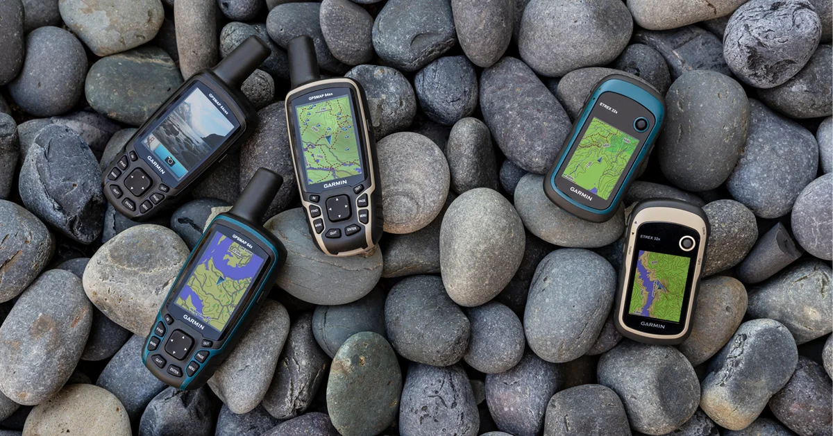
Garmin Announces GPSMAP 66i With inReach SOS Technology


Garmin unveiled their flagship GPS unit this morning, the GPSMAP 66i with includes both GPS and 24/7 SOS capabilities through the inReach® satellite network (Similar to their inReach SE+ and inReach Explorer+ and inReach Mini). It includes a large 3’’ sunlight-readable colour display, preloaded routable TopoActive maps, and direct-to-device, wireless BirdsEye Satellite Imagery.
Large 3” sunlight-readable color display for easy viewing
Trigger an interactive SOS to the GEOS 24/7 search and rescue monitoring center; two-way messaging via the 100% global Iridium® satellite network (satellite subscription required)
Preloaded Garmin TOPO mapping with direct-to-device BirdsEye Satellite Imagery downloads (no annual subscription); includes multiple Global Navigation Satellite Systems (GNSS) support and navigation sensors
Cellular connectivity lets you access Active Weather forecasts and Geocaching Live
Compatible with the Garmin Explore™ website and app to help you manage waypoints, routes, activities and collections, use tracks and review trip data from the field
Internal, rechargeable lithium battery provides up to 35 hours of battery life in 10-minute tracking mode; 200 hours in Expedition mode with 30-minute tracking intervals
“We’ve listened to our customers and the GPSMAP 66i gives them exactly what they’ve asked for, combining our industry leading GPSMAP 66 navigation with our industry leading inReach satellite communication. Adding inReach technology to our GPSMAP 66 series will revolutionize outdoor exploration.”

With direct-to-device downloads via Wi-Fi of BirdsEye Satellite Imagery, users can see high-resolution photo-realistic views of their route. Easily find parks, trailheads, clearings for campsites, stand locations for hunting and more. Plus, the GPSMAP 66i comes preloaded with routable topographic maps so users can see where they’re headed in more detail, like coastlines, rivers, summits, terrain contours and geographical points.
The rugged GPSMAP 66i is constructed to U.S. military standard 810G for shock, vibration, and water resistance (rated to 1 meter) and ready for any adventure, even the longer treks with Expedition mode. Get up to 35 hours of battery life with 10 minute tracking turned on, and up to 200 hours in Expedition mode with 30-minute tracking intervals. With support for GPS and Galileo, combined with altimeter, barometer and compass navigation sensors and Garmin maps, users can feel confident exploring even in the most challenging environments.

Compatible with the Garmin Explore™ app, users will be able to access additional tools and features for outdoor navigation, trip planning, mapping and data sharing. This allows users to type using the keyboard on a mobile device for inReach messages and access phone contacts. GPSMAP 66i is also compatible with Garmin wearables like the fenix 5 Plus series, Instinct, Taxtix Charlie and MARQ Expedition for viewing messages, replying and initiating an SOS while the device is secured in a pack.
The GPSMAP 66i will be available in June 2019 with a suggested retail price of $829.99 and is exclusively available at MEC.