Here's A Fantastic New Map For Woodland Caribou Provincial Park

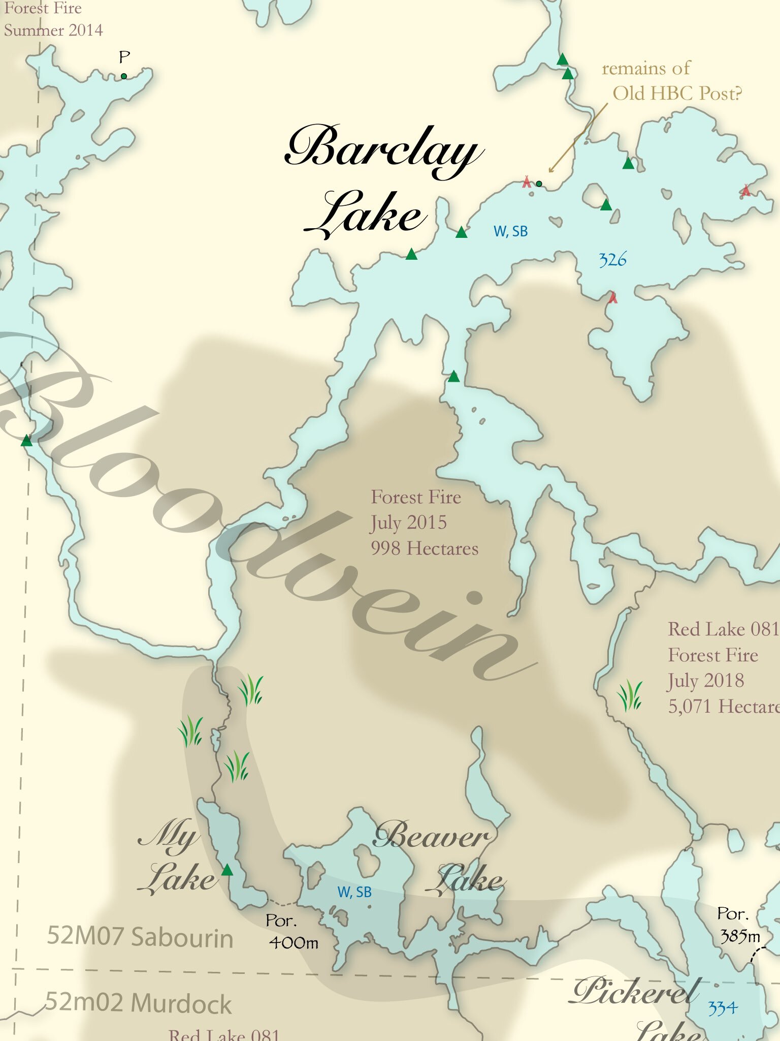
It was six years in the making (and inspired by a trip during the Summer of 2013), but there is a brand new map for Woodland Caribou Provincial Park. Go check out My Woodland Journeys for a canoe route planning map that includes…
portages
campsites
recent forest fire activity
pictographs
waterfalls
points of interest
topographic map layout
historic landmarks including goldmines
important cautionary notices
suggested areas to explore
and more!
You can download the map for free as a .jpg but it is also available as a 42″ x 32″ high quality printed wall map (and a great way to support the map maker).
Glen, the creator says that he will continue to release updates to the park map as the park develops.
Stay connected with My Woodland Journeys by following him on Instagram and Twitter as well as his blog.


