Apple Will Add Hiking Routes & Satellite Messaging In iOS 18

Every year at Apple’s yearly developer conference they highlight upcoming features coming to their devices. It’s especially interesting to outdoors enthusiasts when the new features pertain to us. Hikers will appreciate that in iOS 18 (that will be released this fall) that all 63 U.S. national parks across the U.S. (no mention of Canada, hopefully that is to come) can be browsed and downloaded for offline use.
Apple Maps introduces even more ways to explore the world, including hikes and custom walking routes. Users can browse thousands of hikes across national parks in the United States — filtered by length, elevation, and route type — and save them to use while offline. Users can also create their own custom walking routes with just a few taps to plan everything from a local exercise route to a full-day walking tour in a new city. Additionally, they can save their favourite national park hikes, custom walking routes, and places to an all-new Places Library, and add personal notes about them.
These offline maps can also be saved to an Apple Watch and accessed offline with turn-by-turn guidance, even without an iPhone nearby.
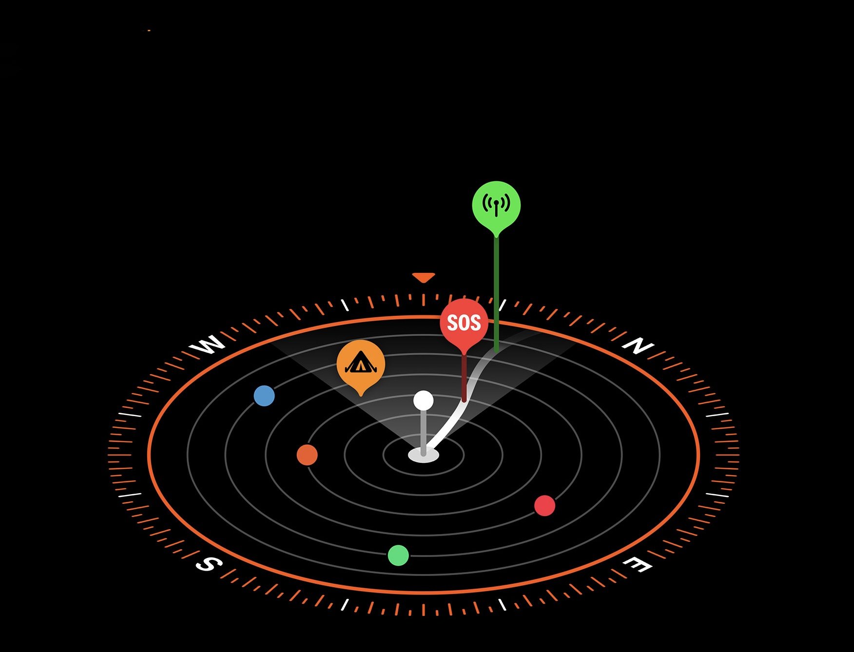
Another big feature to come is satellite messaging. Users will be able to communicate over satellite in the Messages app when a cellular or Wi-Fi connection isn’t available. Extremely helpful in the backcountry! Powered by the same groundbreaking technology as existing iPhone satellite capabilities, Messages via satellite automatically prompts users to connect to their nearest satellite right from the Messages app to send and receive texts, emoji, and Tapbacks over iMessage and SMS.3 With Dynamic Island, users always know when they are connected to a satellite. Because iMessage was built to protect user privacy, iMessages sent via satellite are end-to-end encrypted.
We look forward to trying out these features this fall.


