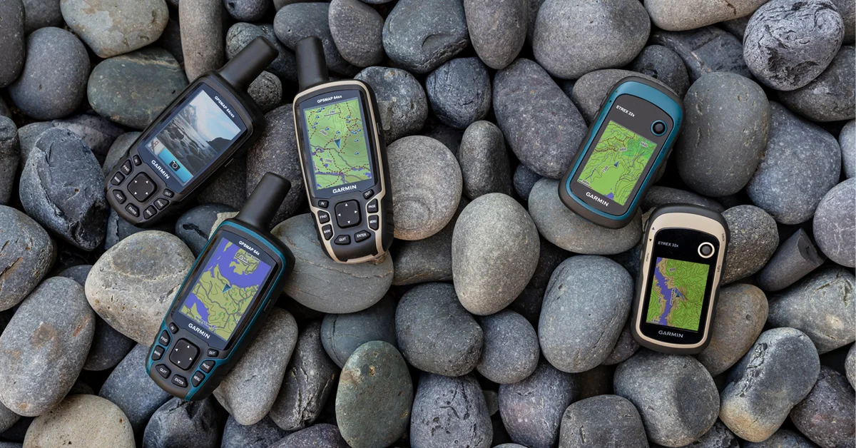
Garmin Announces New Montana GPS Units With Optional Satellite SOS


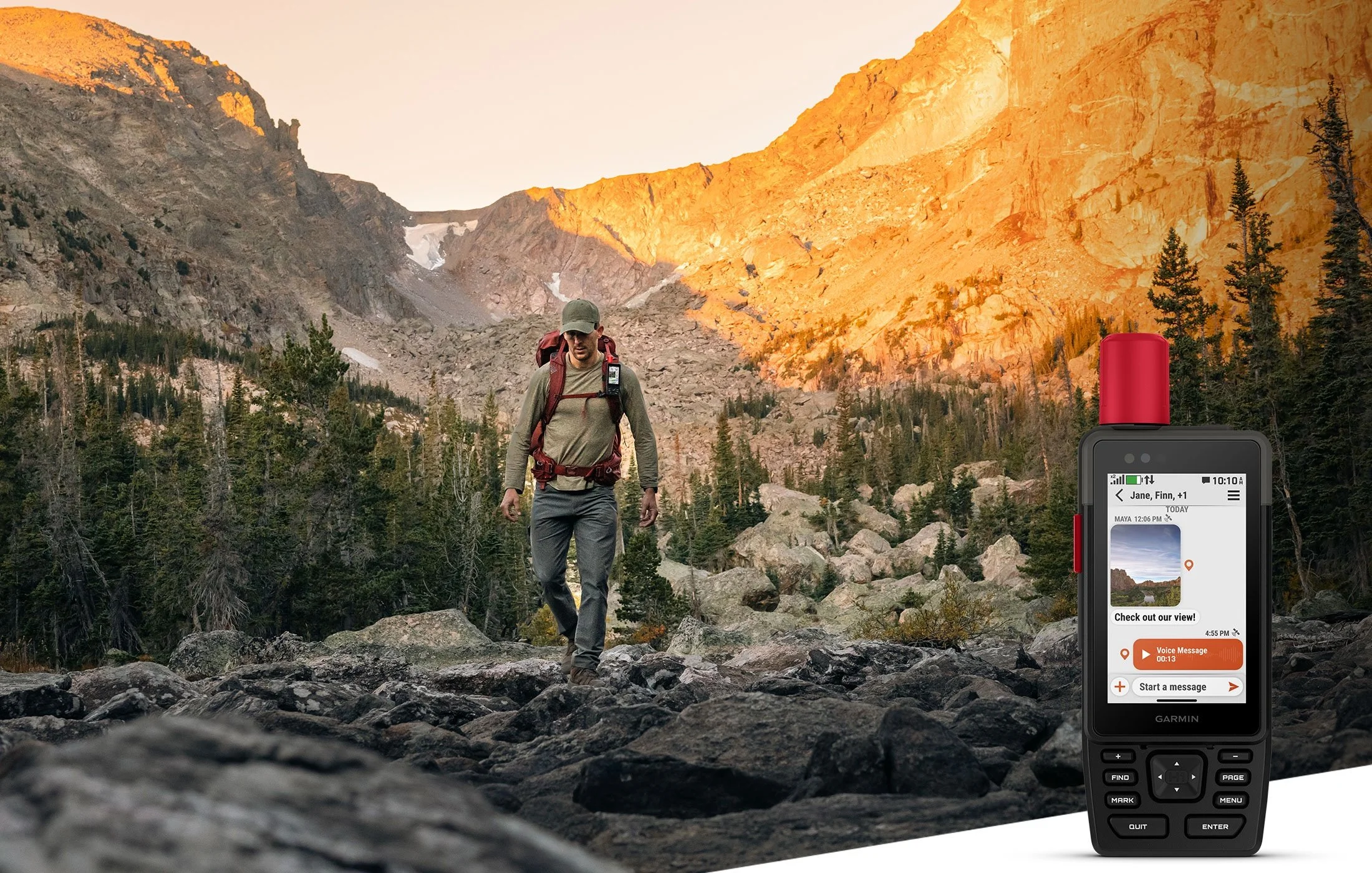
Garmin has launched a new series of Montana GPS units. There is the Montana 710, along side the Montana 710i and 760i which feature built-in inReach® technology to give outdoor enthusiasts peace of mind.
“No matter your adventure, the new Montana series can guide you and keep you connected, even when exploring off the grid. Built-in TopoActive maps, color touchscreen displays and extended battery life can give you the confidence to push your limits, while the optional inReach technology helps you to stay in touch with loved ones when cell service is unavailable.”
No matter the adventure, the latest Montana series has you covered with its large suite of mapping and navigation features.
TopoActive maps: Navigate any adventure with preloaded worldwide topographical maps, optimized for outdoor activities with terrain contours, summits, coastlines and more.
Satellite imagery: Access high-resolution satellite imagery with direct-to-device downloads over Wi-Fi®. See photorealistic overhead views of routes and surrounding terrain and easily create waypoints based on landmarks.
Federal Public Land Boundaries: Know the boundaries of public and private land with an optional display overlay on topographic maps to keep the expedition on track.
City maps: Seamlessly transition from trails to roads with easy-to-follow, turn-by-turn directions using preloaded City Navigator® mapping2.
Trip planning: Connect with the Garmin ExploreÔ smartphone app to plan and review trip data, and manage waypoints, courses and activities.
Outdoor Maps+:Add an Outdoor Maps+ subscription (sold separately) to receive additional premium mapping content, including elevation contours, land boundaries, wildlife areas and more. Easily download regular content updates via Wi-Fi® technology.
Expanded memory: Download even more maps to suit the journey, such as BlueChart® g3 for reliable navigation on the water (sold separately), with 32 GB of onboard memory.
Navigation sensors: the next adventure using the built-in sensors, including an altimeter for elevation data, a barometer to monitor the weather and a three-axis electronic compass.
Multi-GNSS support: Explore with confidence by accessing both GPS and Galileo satellite networks for greater support in more challenging environments.
Built to handle weather and rugged outdoor conditions, the Montana series has been tested to U.S. military standards (MIL-STD-810) for thermal, shock and vibration and is also constructed with an IPX7 rating for water resistance. The series is powered by a rechargeable lithium-ion battery pack that provides up to 24 hours of life in GPS mode and up to 440 hours in expedition mode. Recharging can be done conveniently through a standard USB-C® cable.
Montana 760i users can also document their journeys with a built-in, 8-megapixel camera. The device automatically geotags photos with coordinates so adventurers can navigate back to their favorite spots later.
Available now, the Montana 710/710i/760i GPS handhelds have suggested retail prices ranging from $919.99 to $1259.99 Canadian.