MNRF's Topo Maps Creator Is Now Mobile Friendly


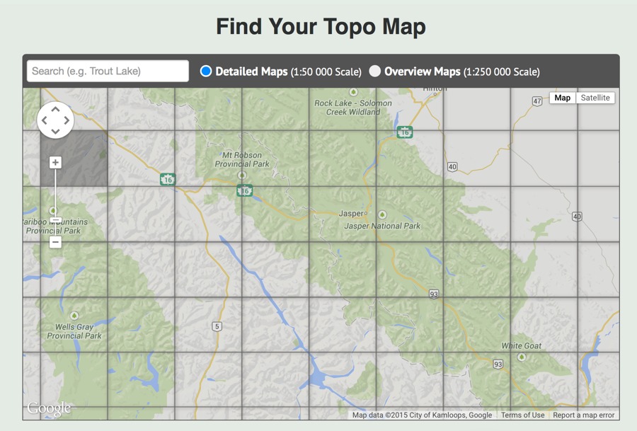
The Ministry of Natural Resources and Forestry in Ontario now lets you create your own topographic maps on your mobile device! Haven’t used it yet? It lets you…
“The map shows topographic information, such as roads, trails, lakes, rivers, wooded areas, wetlands and provincial parks, as well as municipal and township boundaries. You can zoom in and out, find places and turn satellite imagery on or off and add your own text and print the map you make.”
Evan Holt