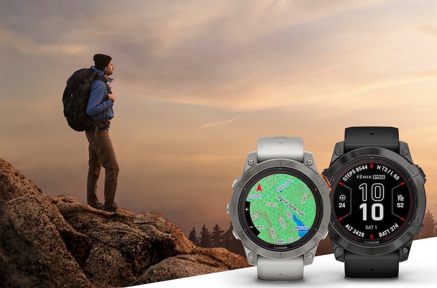
Garmin's Outdoor Maps+ Extended To Additional Countries

Garmin offers premium mapping content that is available via a yearly subscription service called Outdoor Maps+. Originally when it launched it was exclusive to the U.S. but now it has expanded to Canada as well as European countries. Through a single, annual purchase, users can access globally available maps, including roads and trails, points of interest, contour lines and more on their compatible Garmin device. The Outdoors Maps+ pack includes…

Satellite Imagery: See a high-resolution perspective from above with photorealistic maps that download directly to compatible devices, available worldwide.
Night Lights: Find the best locations away from light pollution for stargazing, camping or just getting away, available worldwide.
HD Relief Shading: Utilizeimproved mapping detail with shading that helps visually depict elevation changes and terrain features in all 50 U.S. states and many European countries.
2D Buildings: Specific to European countries, view a map layer with an area footprint of buildings, which can be toggled on or off at the user’s discretion.
An Outdoor Maps+ Annual Plan costs $69.99 CAD.