Garmin Updates Outdoor Maps+ For 2024
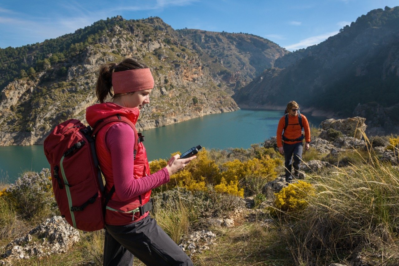
Garmin has updated their Outdoor Maps+ for 2024…
Heritage Points: See castles, forts, lighthouses, religious sites and other historic points of interest around the world overlaid on a map.
Campgrounds: Find a spot to spend the night and know which amenities are provided for the U.S. and Canada.
DeLorme® Atlas & Gazetteer Points: Locate U.S. points of interest, such as unique natural features like mountains and waterfalls, available outdoor recreational activities, family-friendly attractions, recreational areas such as state/national parks/forests and places to fish or hunt.
USFS Points: View United States Forest Service locations for camping, hiking, picnicking, outdoor learning, nature viewing, fishing and more.
LTE Voice Coverage: See if voice coverage is available with a map layer showing LTE coverage for Verizon, AT&T, UScellular and T-Mobile wireless carriers2 throughout the U.S.
Buildings: Determine your location or get help with route planning with a map layer showing 2D building footprints. Expanded to include all areas of the U.S., Canada, Mexico, Central America and the Caribbean.
This update also extends existing Outdoor Maps+ content to European countries, including:
Raster Maps: Get highly detailed raster maps that display trailheads and trails, camping areas, points of interest, water sources and more. Data from leading providers in France and Switzerland as well as the U.S. and Canada.
Expanded Relief Shading: Enjoy improved mapping detail with shading that helps visually depict elevation changes and terrain features. Coverage expanded to include more European countries.
Outdoor Maps+ is currently available for download for an annual price of $69.99 Canadian.